
Crosscut & Bridger BOwl Trails
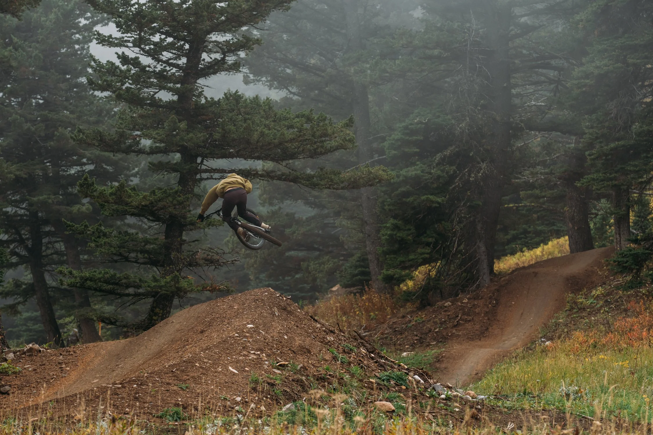
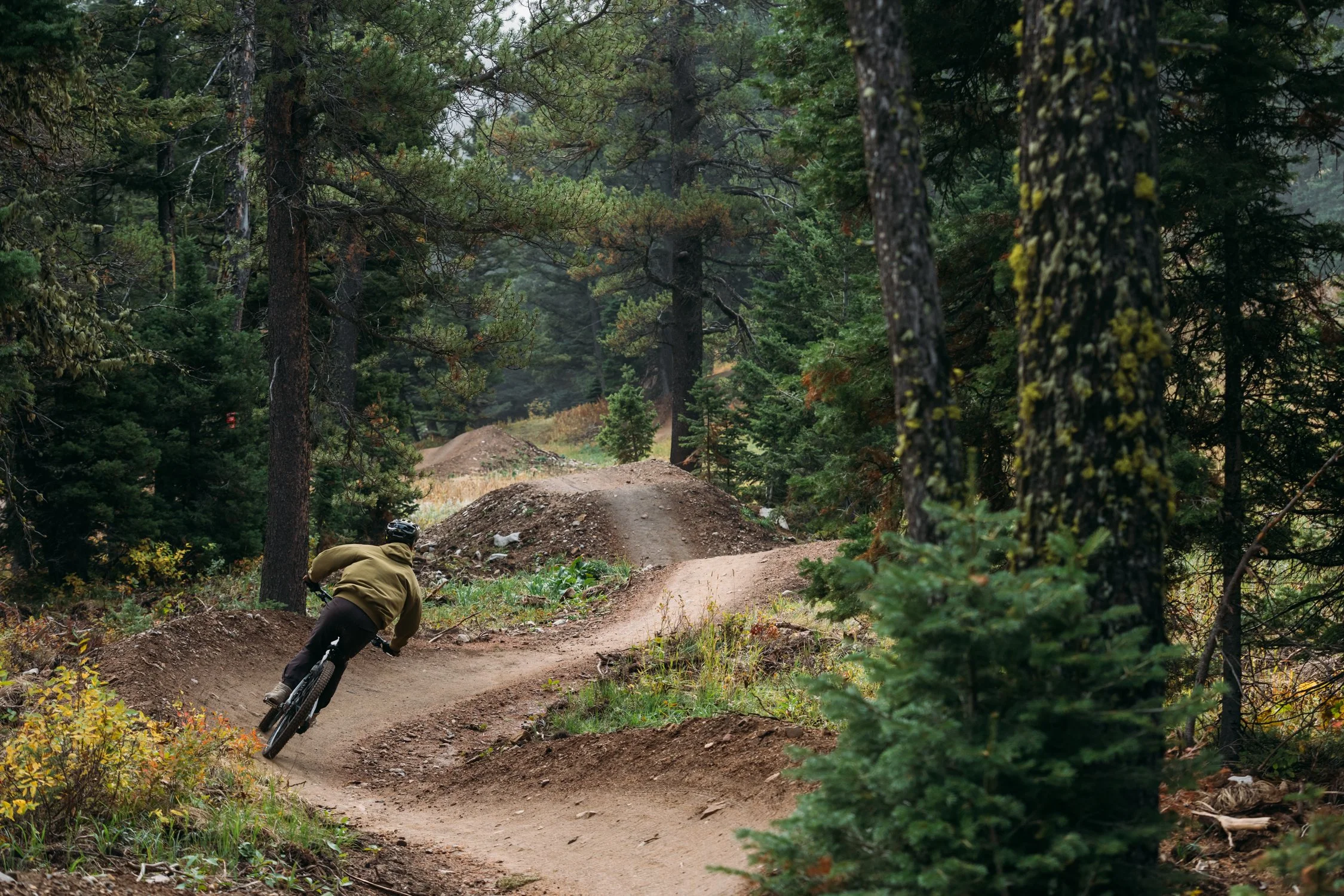
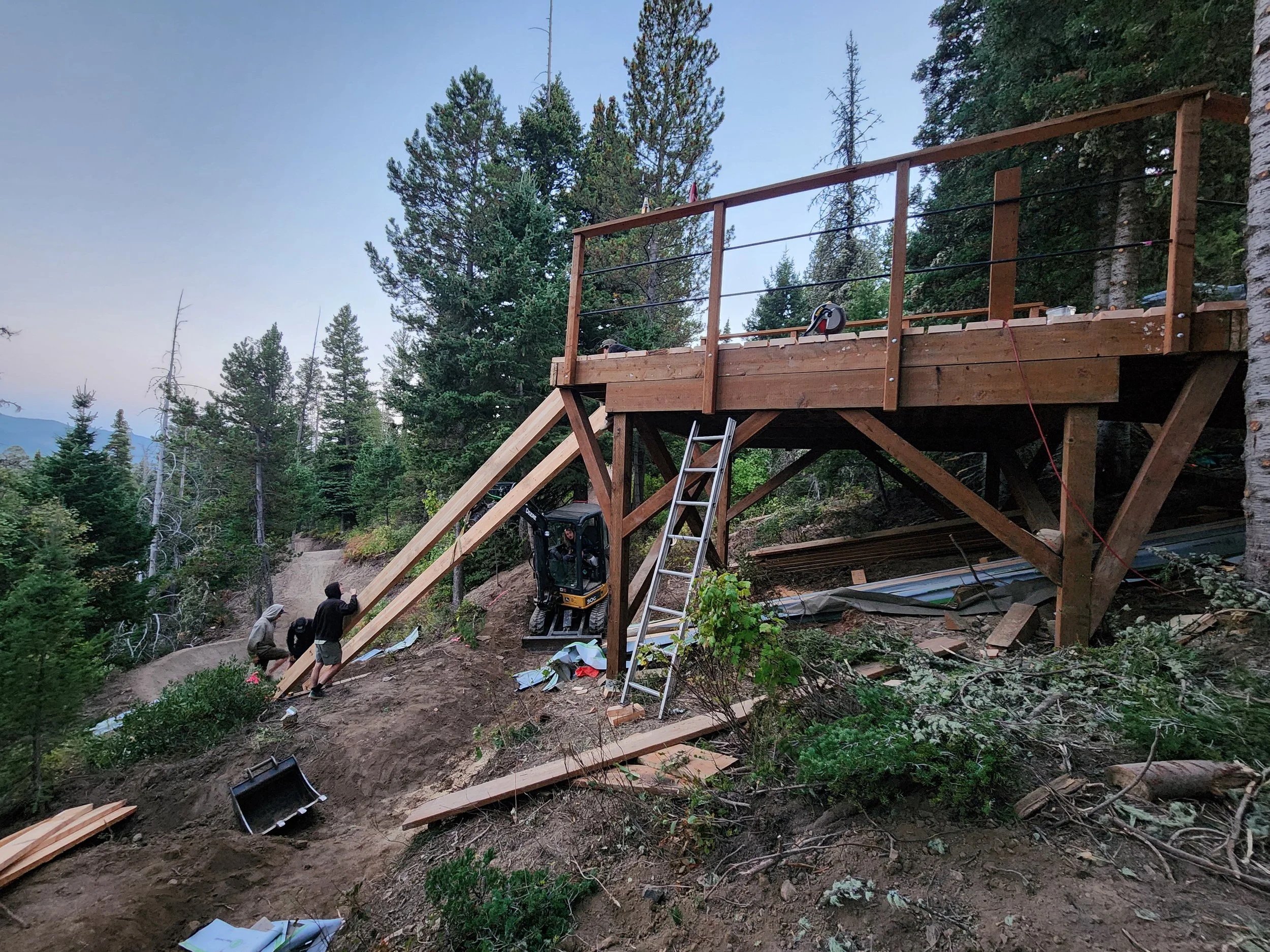
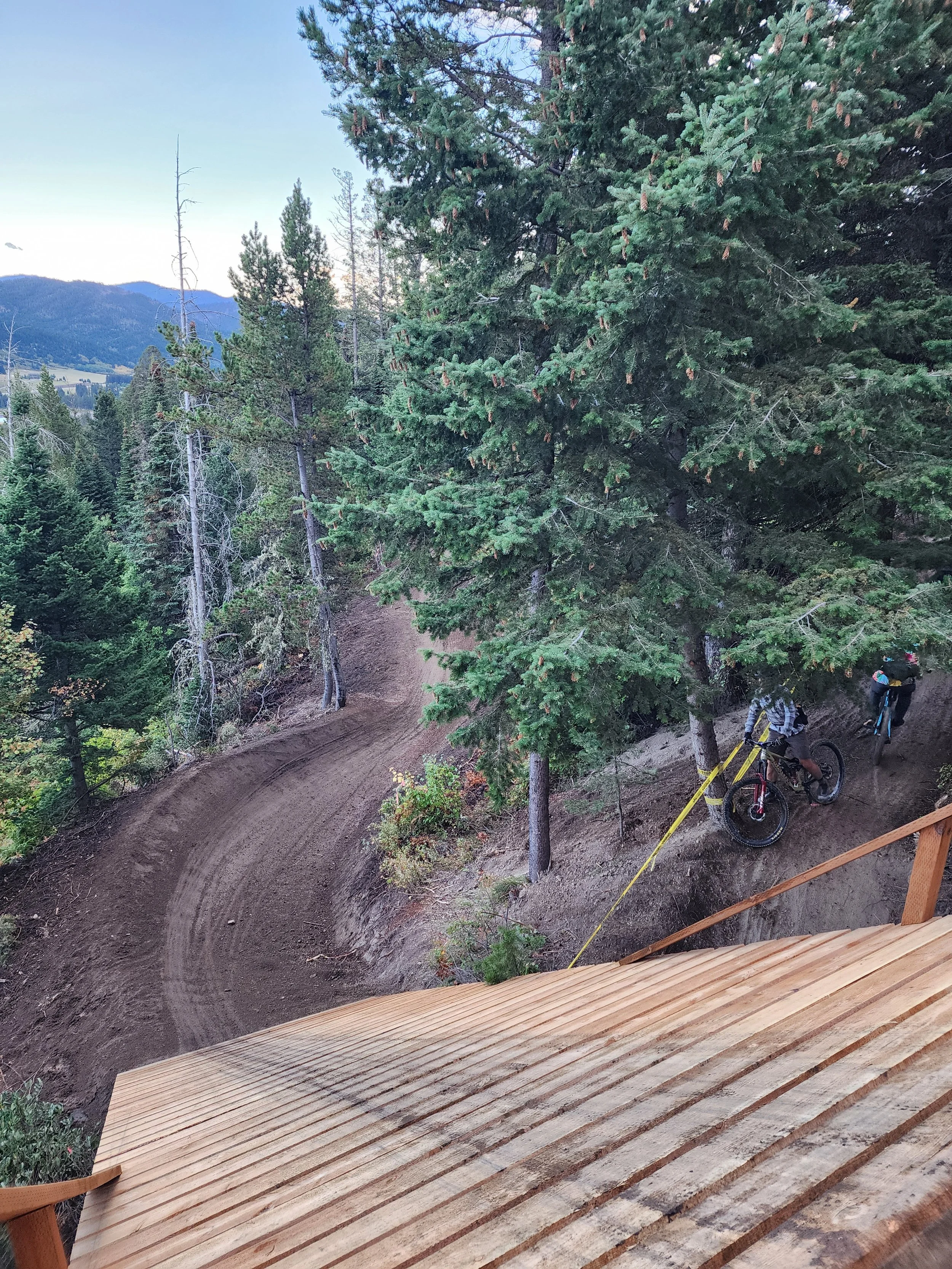
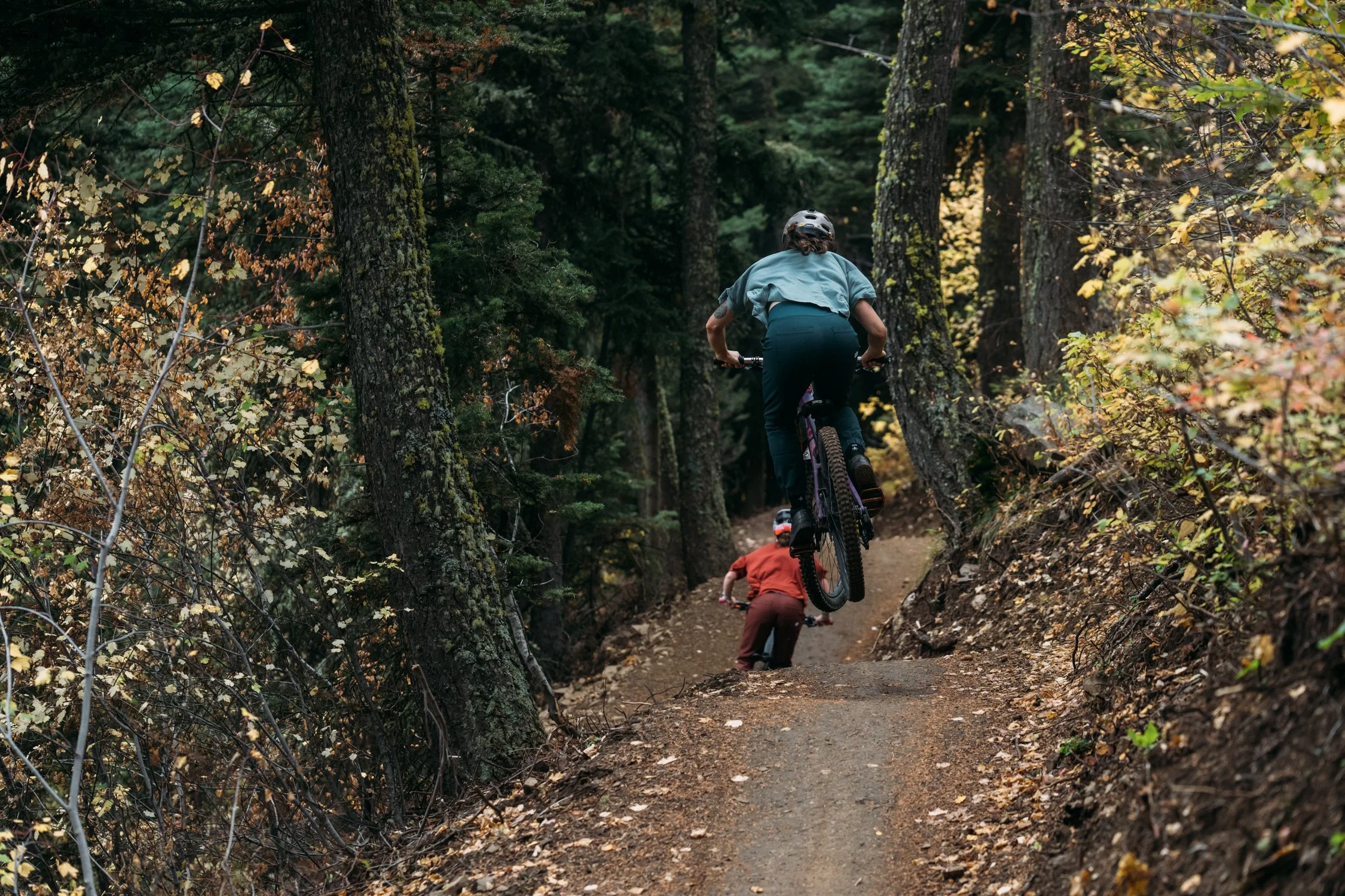
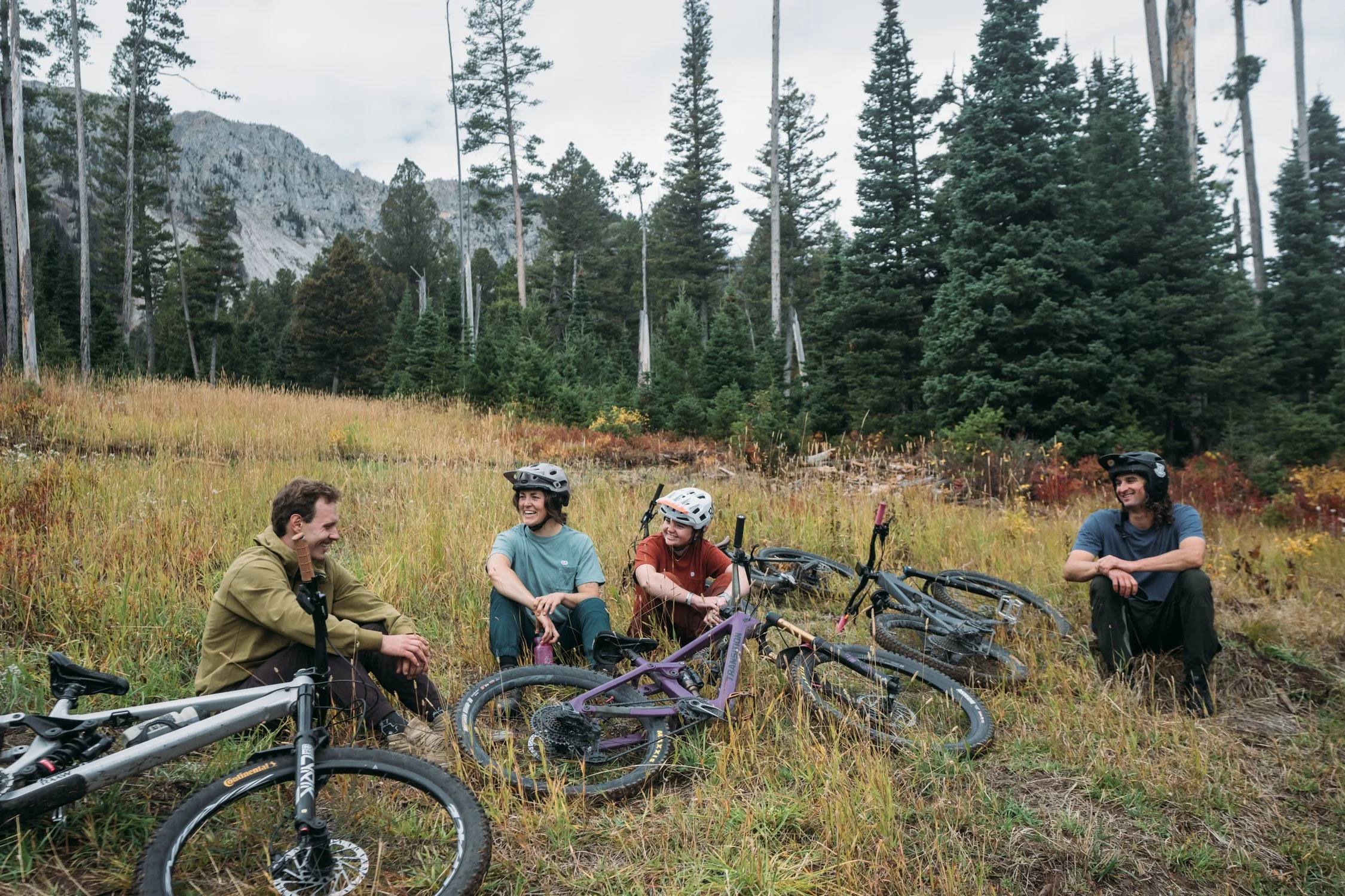
We Successfully Built 3 New Trails at Crosscut and Bridger Bowl Last Summer!
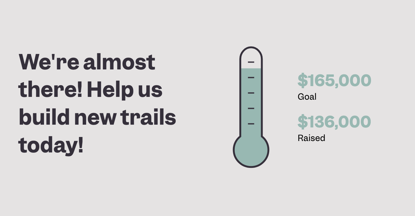
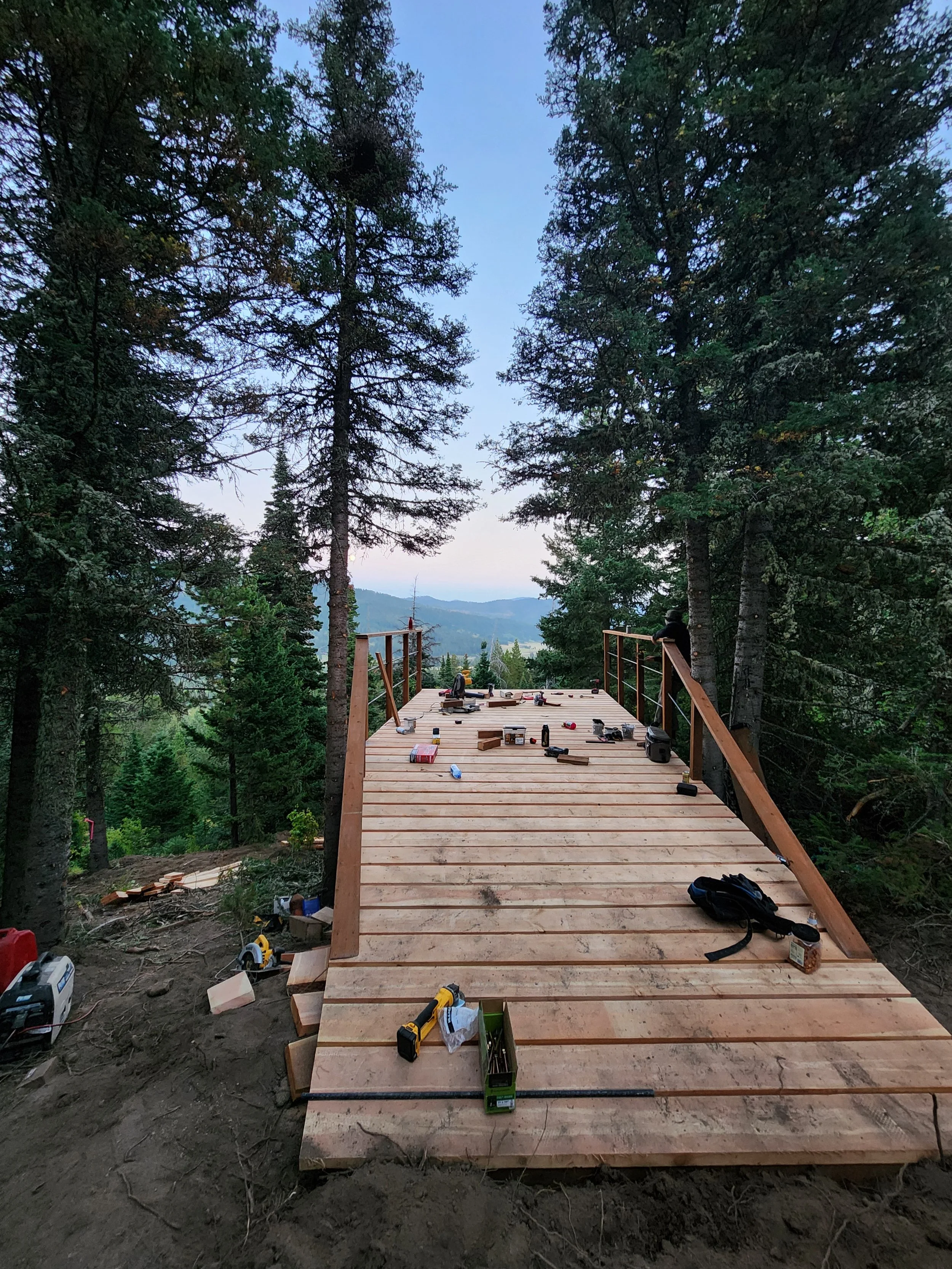
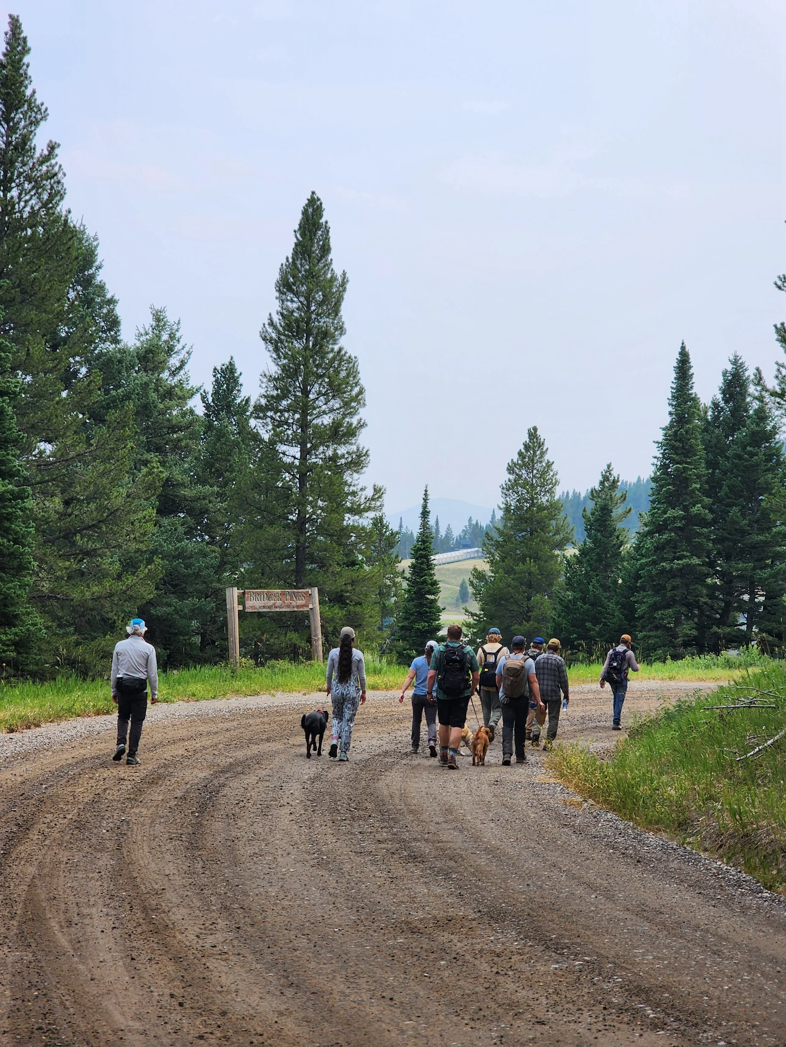
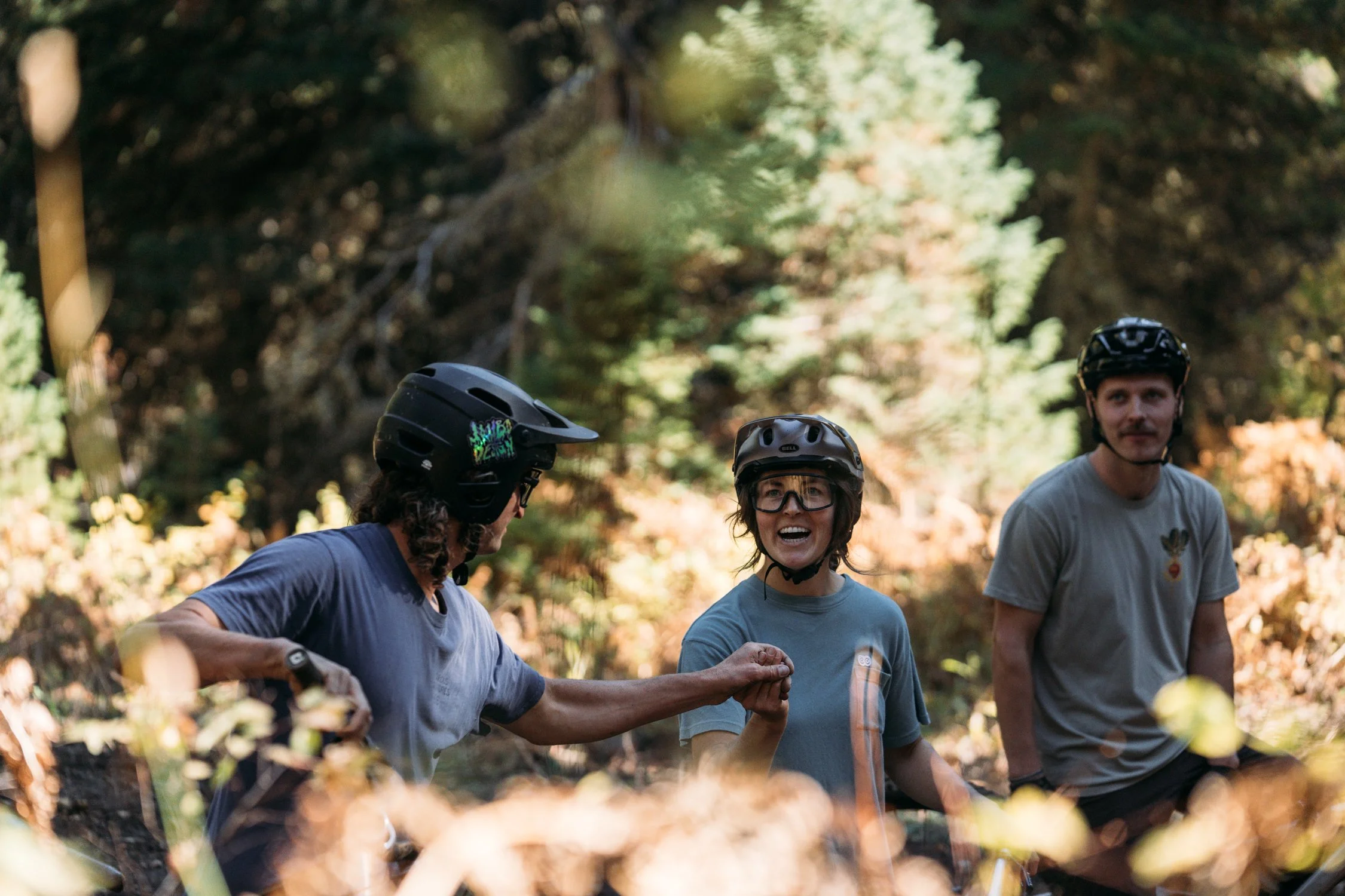
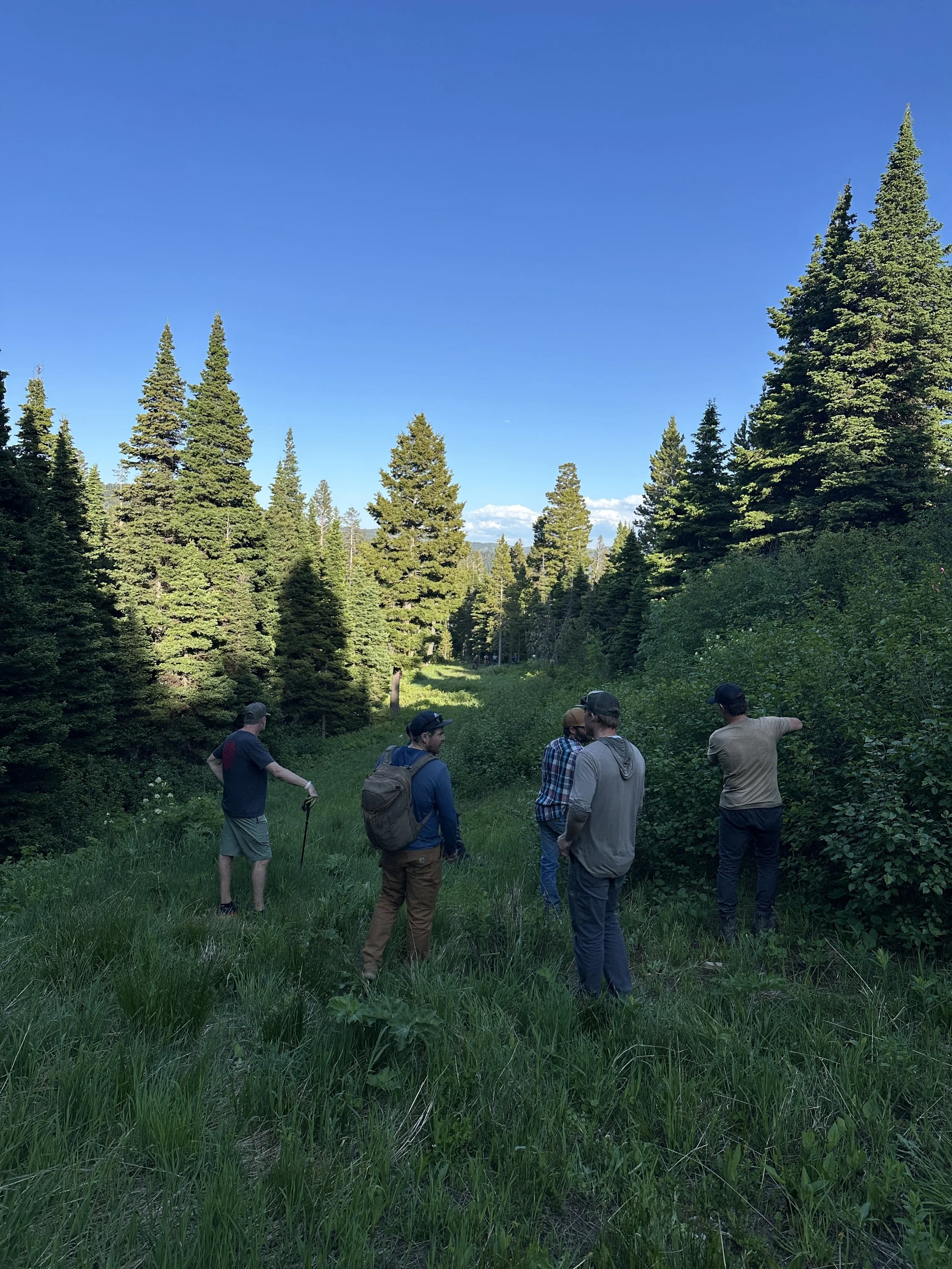
With the help of this community, we hit our fundraising goal, hired 3 Montana contractors, and delivered 3 amazing new sections of trail in 2025. This is a huge, community-wide accomplishment! Thank you to all those that donated, participated in an event this summer that went toward the project, and spread the word. There’s much more to come, see below for more information!
What’s Next? See below!!!
- About Phase 2 Trails -
Phase 2 is just the beginning. With the overwhelming success of the trails we delivered in 2025, we want to keep that momentum going and deliver even more purpose built trail for our community! This year is about addressing a few critical gaps that were highlighted during phase 1 development, and about laying the foundation for future trail opportunities. If we continue to show up, continue to take care of these resources, and continue to deliver high quality trails, there are years worth of additional trail development at Crosscut and Bridger Bowl. Please keep the enthusiasm high and be sure to support Crosscut and Bridger Bowl and advocate for more trails!
More to come soon, stay tuned! See you on the trails!
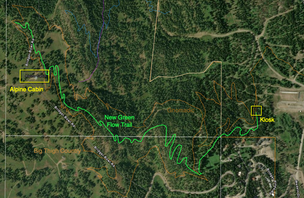
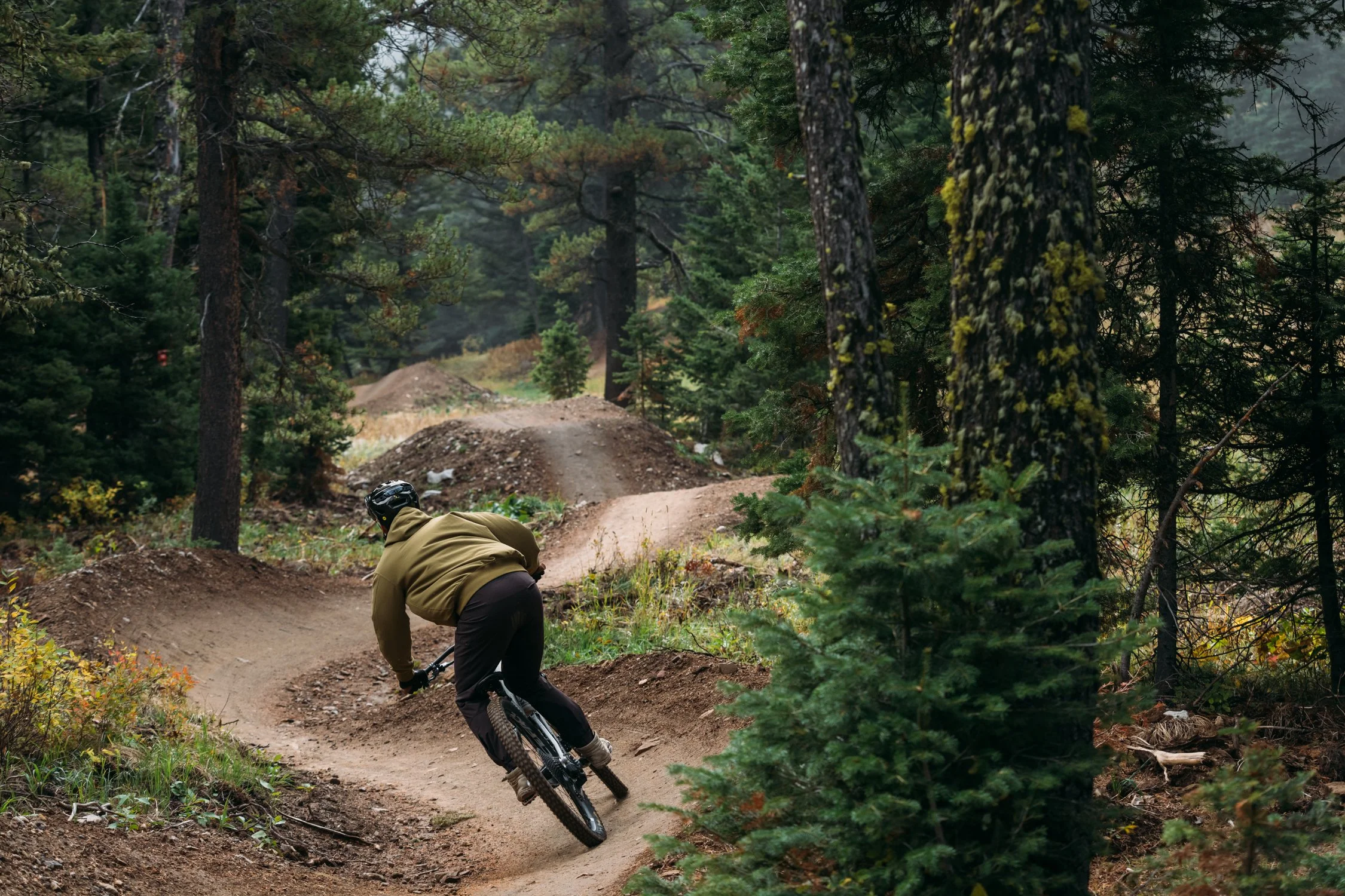
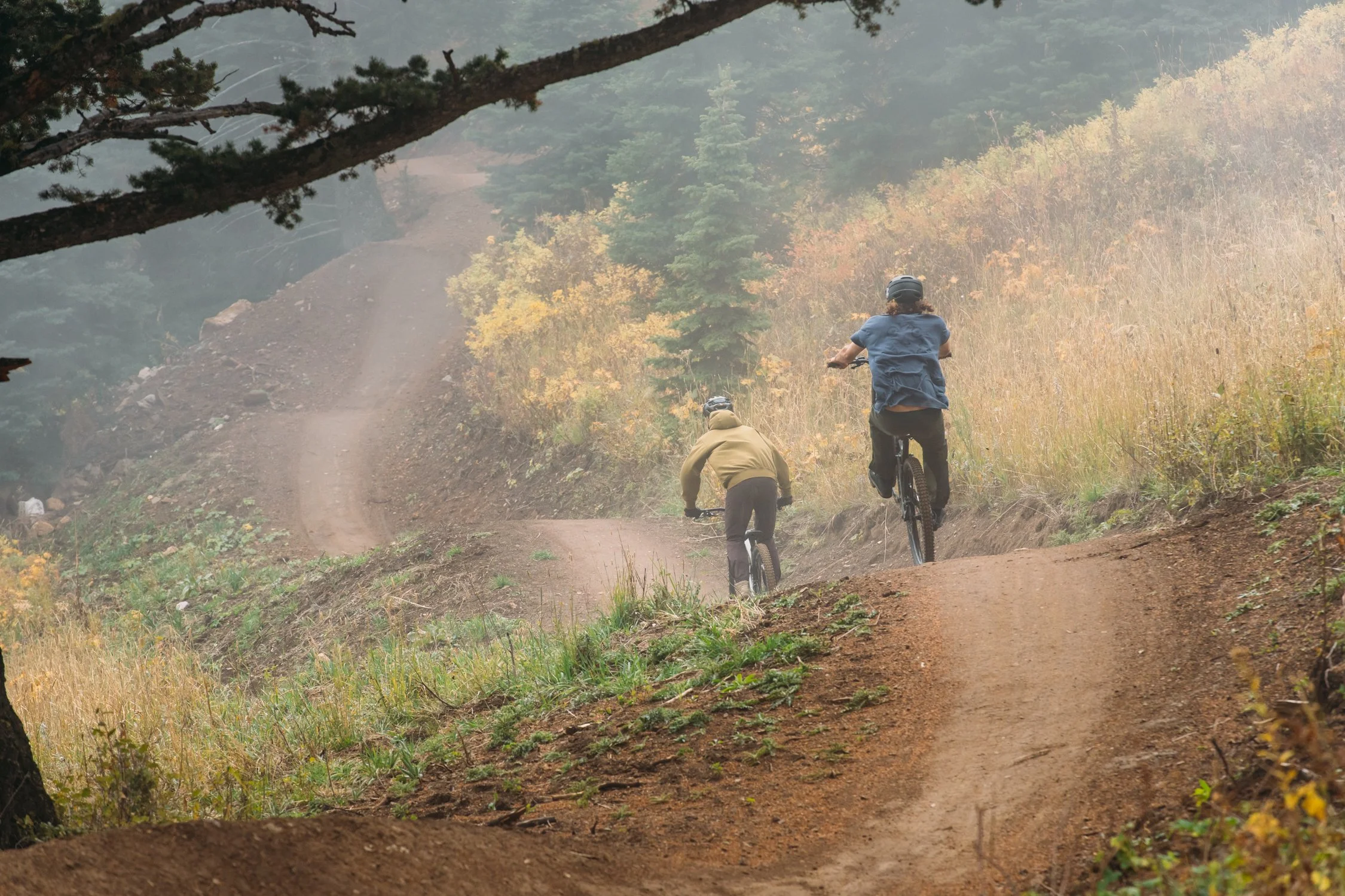
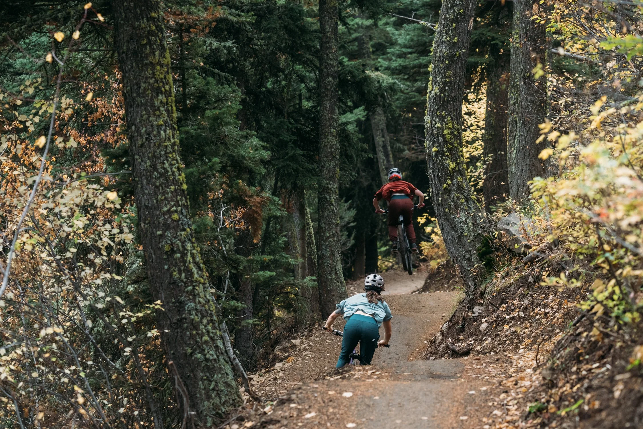
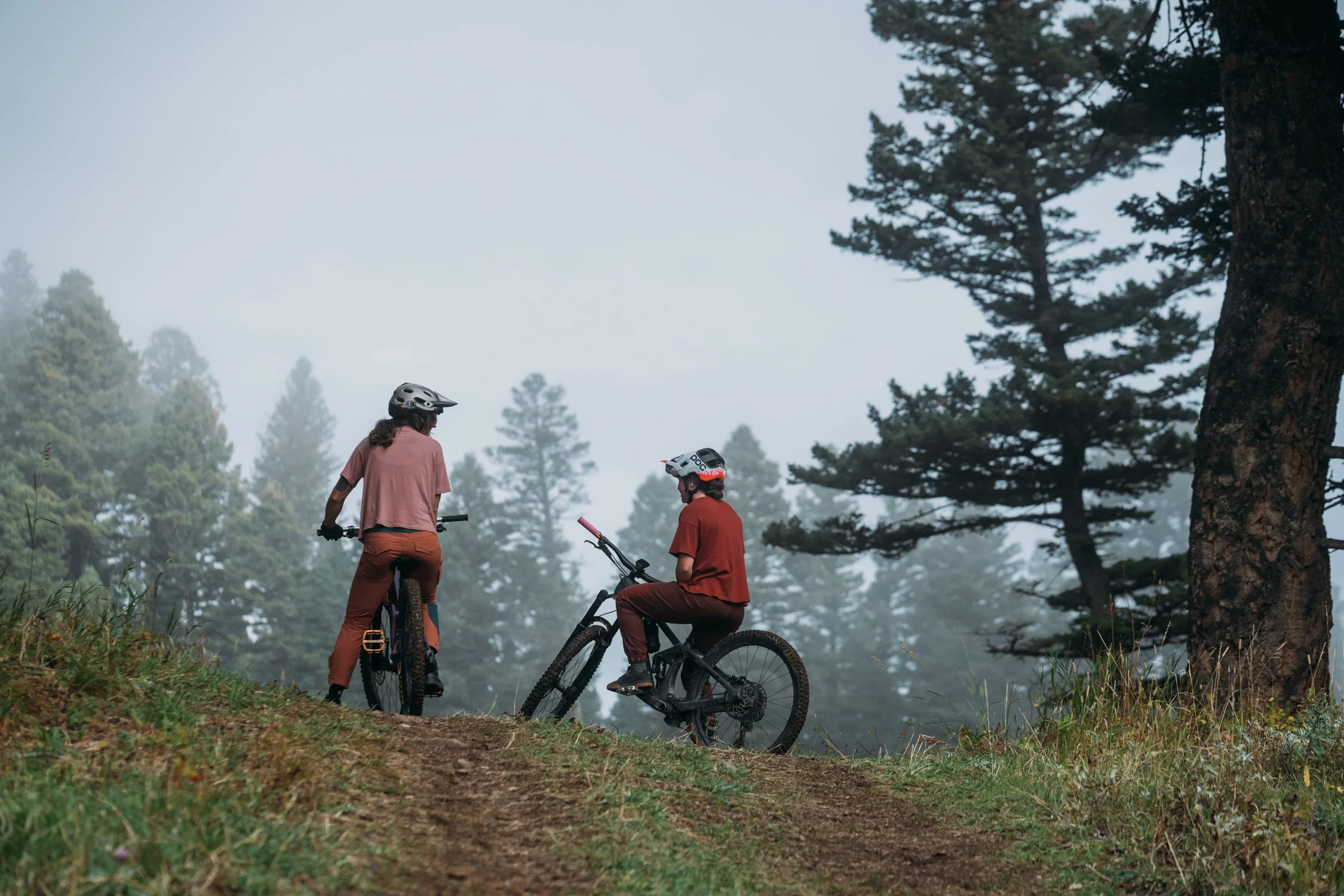
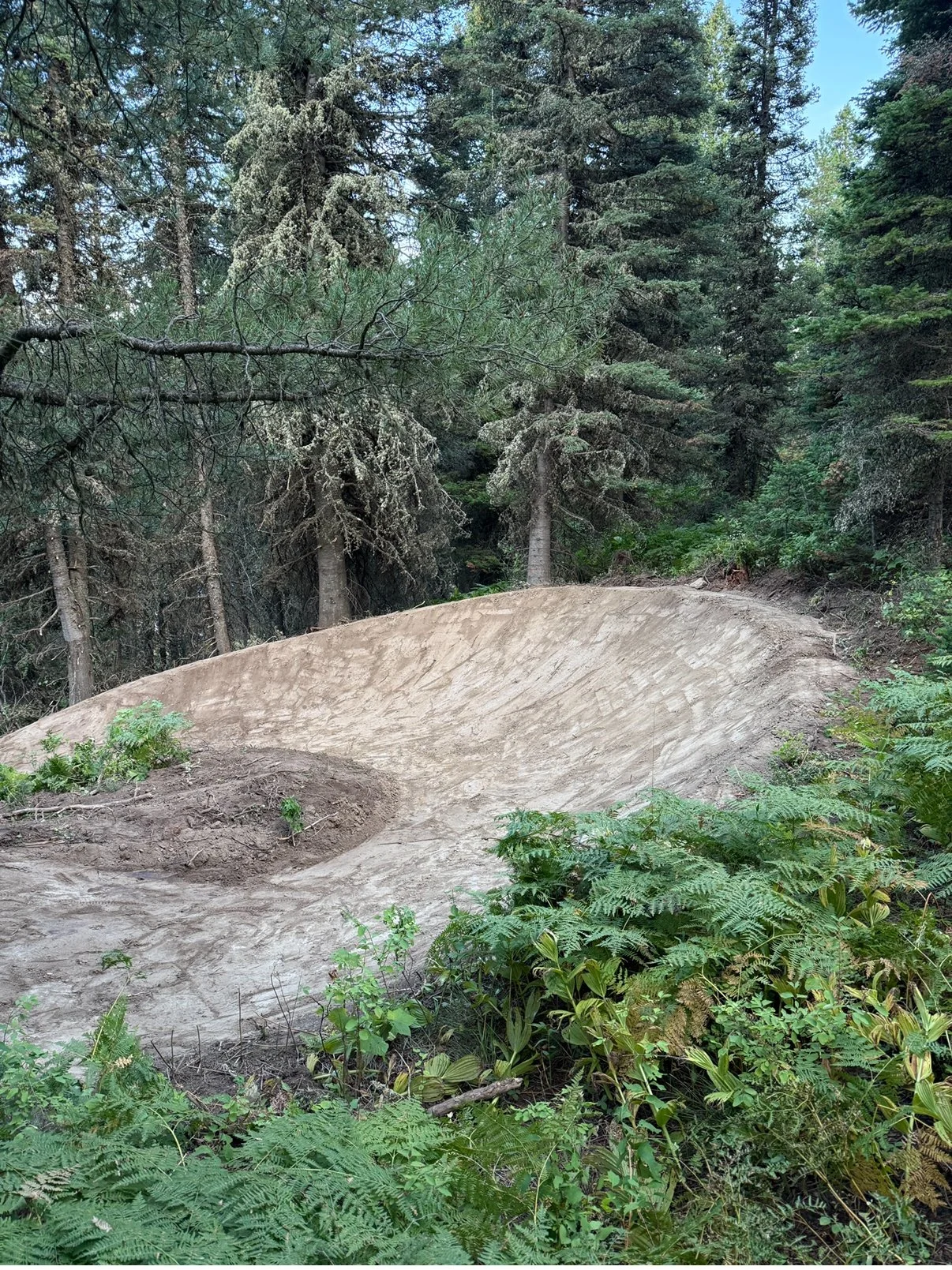
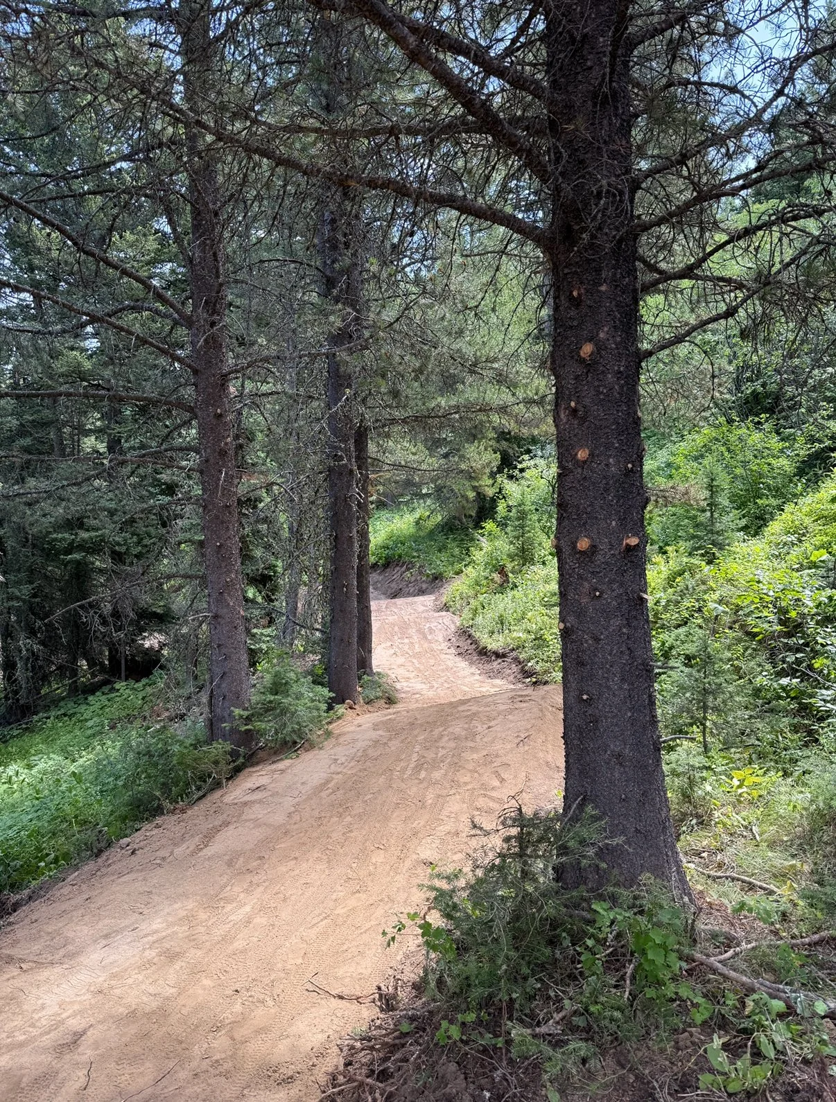
Top-to-Bottom Green Flow Trail
Distance: 2.25 miles
Direction: Downhill-only, mountain bike only
Rating: Green
The downhill only green trail is designed to be approachable, family-friendly, and confidence-building. With gentle grades, rollers, and berms, it expands accessibility while remaining fun for experienced riders. We imagine this being similar to Radish at Legacy Bike Park.
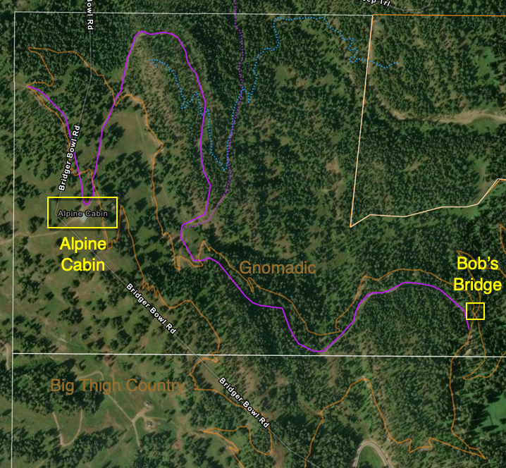
On the map here, you can see where the trail is in relation to Alpine cabin, Bridger Bowl’s parking area, and Crosscut’s Biathlon Range.
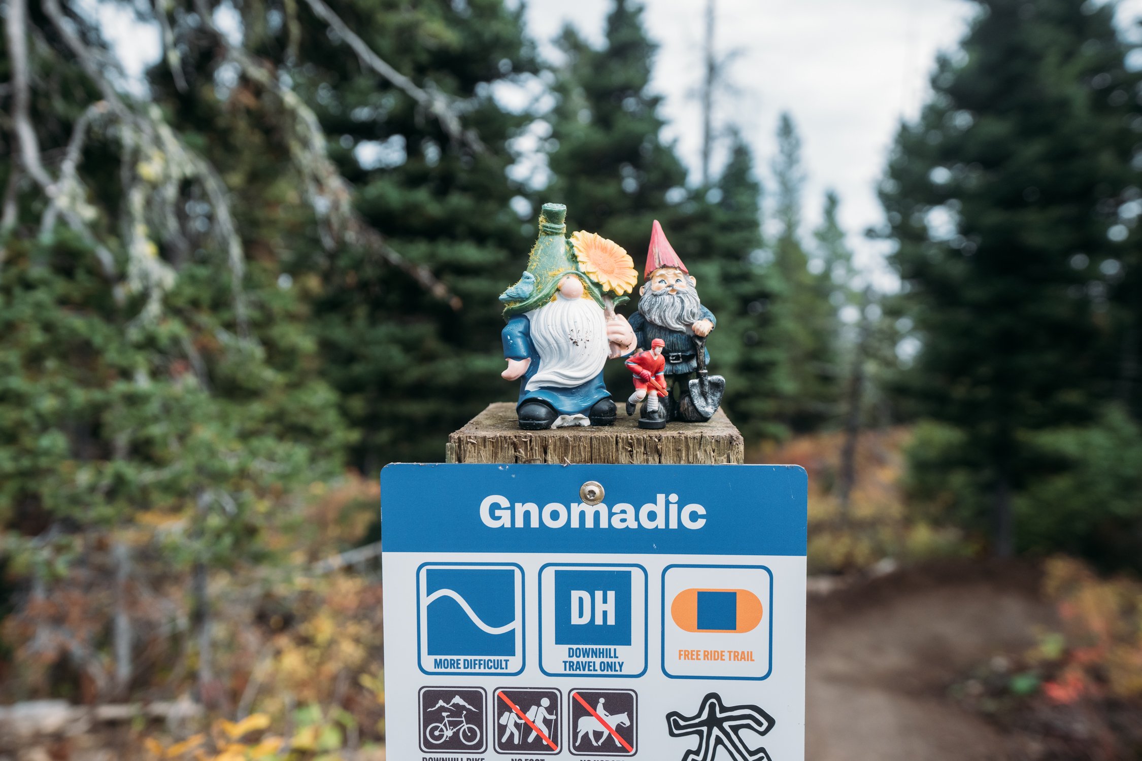
Aside from being fun, this trail has several benefits. First, it will help reduce multi-direction traffic on Big Thigh Country. Second, it provides a descent option that’s less committing than Gnomadic, ensuring safer riding for the entire community.
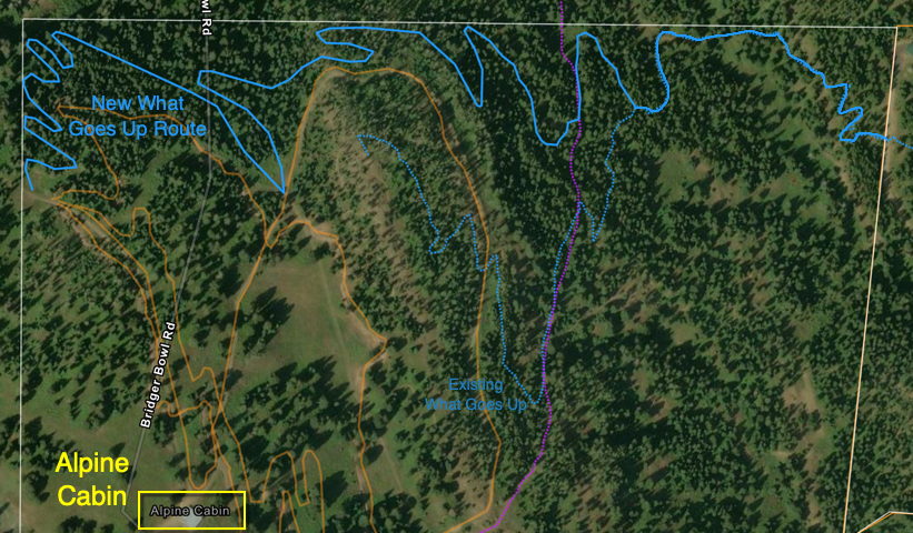
2. Rerouting What Goes Up
Distance: 1.5 miles
Direction: Uphill-only, mountain bike only
Rating: Blue
We are rerouting the existing climbing trail, What Goes Up, for 2 primary reasons.
First, the existing trail could use some love. While it’s climbable, we think it could be a lot better. Second, the existing trail alignment cuts across the fall line of the buildable terrain two times. As we develop future trails (there are years of plans!), this space is needed to ensure we can have top-to-bottom flow trails that don’t have multiple intersections or multiple bridge features.
You can see the approximate reroute outlined in blue on the provided map.
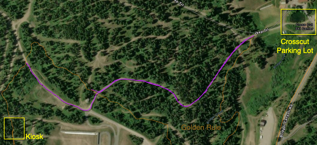
3. Adopt & Sign 5 Rings Road
Distance: .65 miles
Direction: Multi-direction, multi-use
Rating: Purple access road
We will also be adopting and signing the dual track road from Crosscut’s base area over to the Kiosk at the bottom of Gnomadic / start of Big Thigh Country. You can see it outlined in purple on the provided map.
The intent here is to offer a clear and more direct access route to the new trails, while also pulling multi-direction and more advanced rider traffic off of Golden Rule.
This will ensure folks can access the trails they’re there to ride as quickly as possible and allow users of Golden Rule to enjoy that trail without constant traffic to and from the kiosk.
4. Adopt & Sign Timmy’s Road
Distance: 1.5 miles
Direction: Multi-direction, multi-use
Rating: Purple access road
Lastly, we will be adopting and signing Timmy’s road from right near Bob’s Bridge to the top of the trail system above Alpine Cabin. You can see it outlined in purple on the provided map.
This route is already being used for access. Additionally, officially adopting this segment will help pull multi-direction access off of Big Thigh Country, making that a better trail experience for all users.
Key Project Objectives:
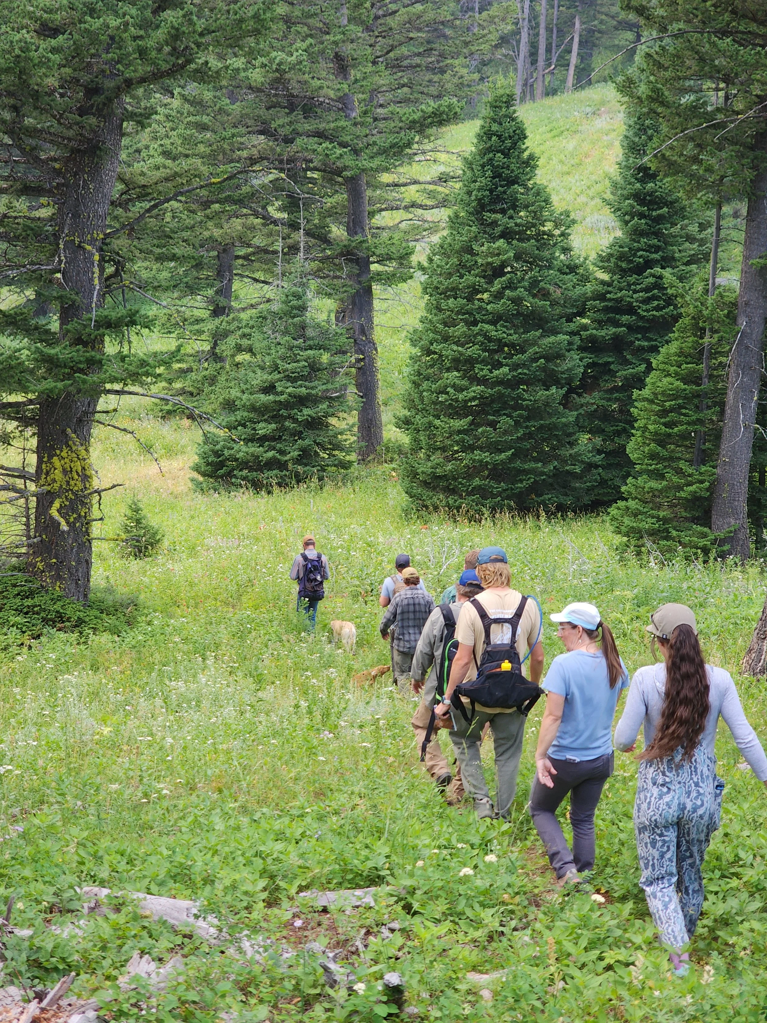
While working with Crosscut and Bridger Bowl on outlining and defining new trails for this system, we set out several guide posts that help guide our phased approach and priorities. Here are a few of the key objectives we kept in mind while coming up with these trails:
Where possible, keep trails below Bridger Bowl's ski area boundary
Ensure as many 'top to bottom' trails as the terrain allows
Eliminate as many intersections as possible to prevent a 'spaghetti bowl'
Build phases in such a way that best serves the broader cycling community
Maintain a good and responsible mix of trails throughout the phases
Ensure proper connectivity between Crosscut's trails and the trails on Bridger's property
Work with different builders to ensure different trail character and diversity
Scale our maintenance efforts in a manageable way to ensure top-tier trails for decades
Ensure any road crossings are safe and 'uphill' to avoid conflict with other users
Project Updates and Approximate Timeline:
01/16/2026 - RTP grant application submitted
03/17/2026 - RFP sent to (14) select builders
03/30/2026 - Presentation to the Gallatin County Open Lands Grant board
04/06/2026 - Project outlined at MAP Pint Night
04/12/2026 - Bids due for Phase 2 trail segments
04/30/2026 - Contractors selected and notified for each segment
05/2026 - Approximate routes walked with land managers and contractors before flagging
05/31/2026 - Flagging complete & approval by land managers
06/2026 - Phase 2 construction begins
08/29/2026 - Completion of all new trail segments and opening party